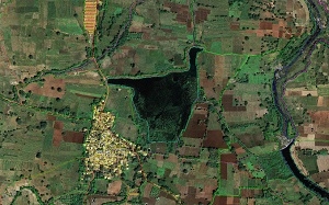
Geospatial Information

Geospatial Information (GI) provides the spatial extent, geometry and description of the features beneath, on or above the earth ‘s surface with their precise location. GI is captured and processed through a wide range of tools and techniques that includes remote sensing, surveying, geographic information systems (GIS), photogrammetry and global navigation satellite system (GNSS) are used to capture geospatial information. These are used either standalone or in combination to find the accurate position, to map and/or analyse different features of the earth’s surface.
